Grand Canaria is the third largest and third highest island (maximum elevation is 1949 meters above sea level) of the Canary Archipelago. Along with the Tenerife island, it is the administrative center of the Canarias. The island has a rounded shape with a diameter of approximately 50 km. Most of the tourists visit the southern part of the island as it is warmer and more sunny than the north part. The east coast of the island is rather flat, dotted with beaches, while the western coast is rockier and mountainous.
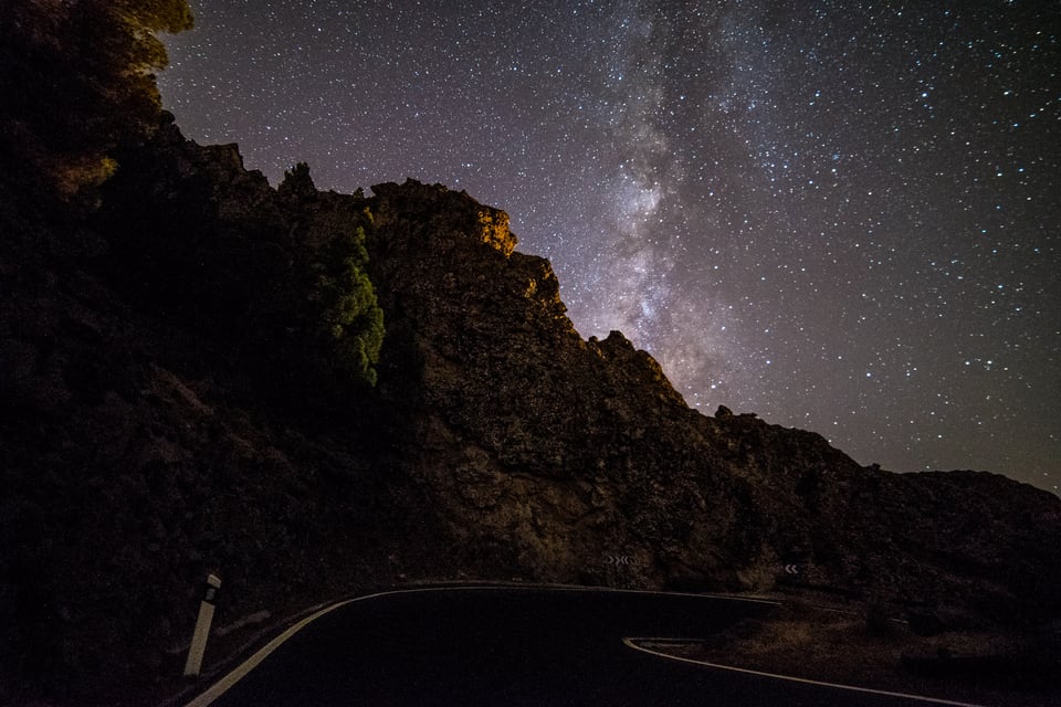
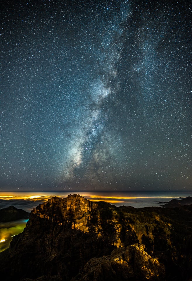
In the middle of the island, the highest peak Pico de las Nieves is to be found. Thanks to high elevation of the mountains and a rather sparse light pollution in the southwestern part of the island, Gran Canaria is a very good stargazing location. While most of the tourists are coming due to the sea and the climate, photographers will be attracted to mountains with deep valleys, canyons, bizarre rock formations and old villages on the slopes. Sand dunes in Maspalomas in the south of the island is yet another photogenic attraction.


Rock formations Roque Nublo and Bentayga
Roque Nublo (Cloud Rock) and Bentayga Rock are the most distinctive geological features of the Gran Canaria. Located at the brink of a canyon, they create a perfect setting for landscape photographs. You can frame both rocks into one picture when photographing from west – approximately from the Acusa Verde village.

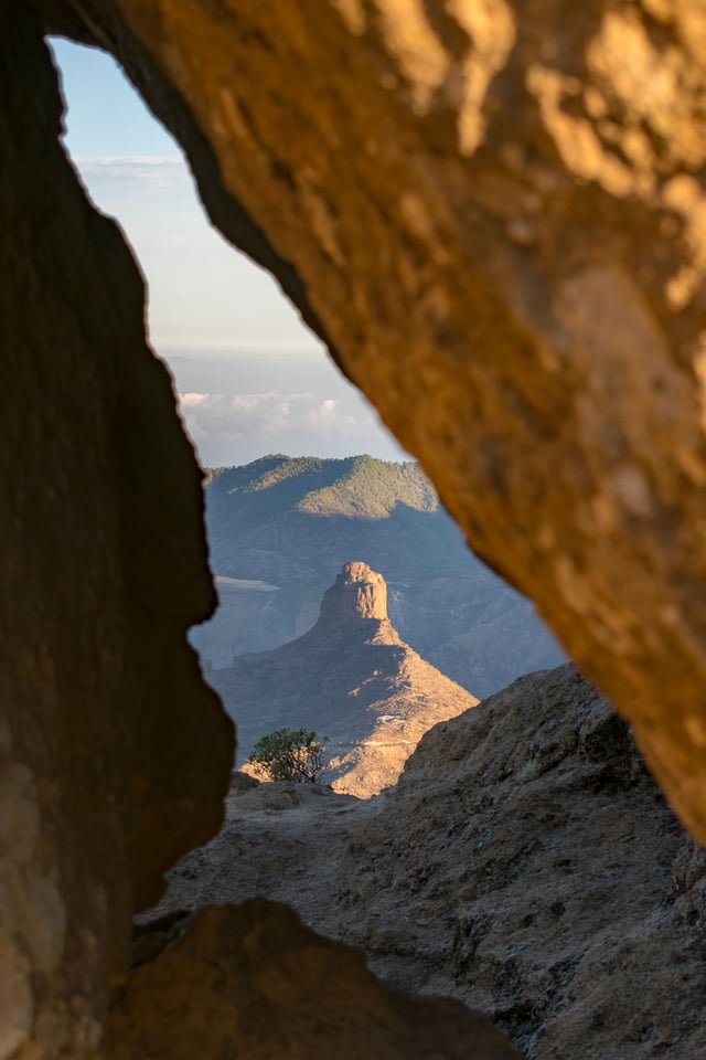
Roque Nublo is the second highest peak of the island. It is a 80m tall monolith that is perfectly visible from many villages in the mountains. I photographed the rock during the sunrise and enjoyed being there completely alone. From Roque Nublo, you will have 360° views, Roque Bentayga (1.404 m above sea level), another impressive rock monolith, will be below you to the west. Next time I would wait for sunset here which might be even more spectacular than the sunrise. When climbing to the Rique Nublo from the main parking place (it is roughly a 30 minutes hike with a bit of elevation gain), you will pass several more bizarre rock formations (El Fraile).


Tejeda
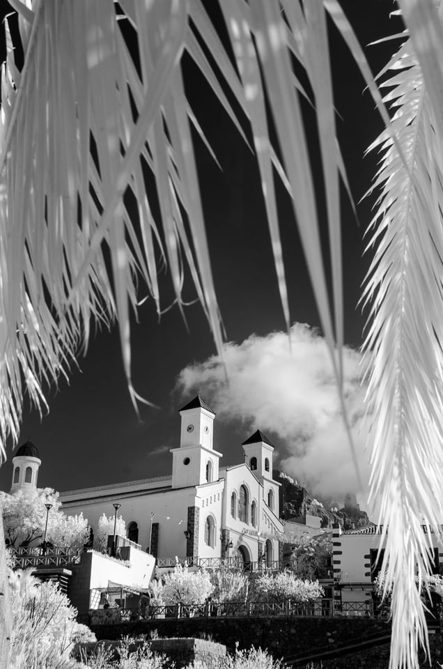
The small town of Tejeda is located on the main hill of Gran Canaria amid the landscape full of gorges, in the shade of the symbol of the island – Roque Nublo. This town is rather a village, so going through it will take barely half an hour. Tejeda consists of nicely preserved old white houses with red roofs. If you come you will quickly understand why this particular tiny community won several unofficial competitions for the most picturesque village of Spain.


Shortly after my visit in September 2017, the area was hit by a major fire that devoured several buildings in adjacent villages.


Maspalomas Sand Dunes
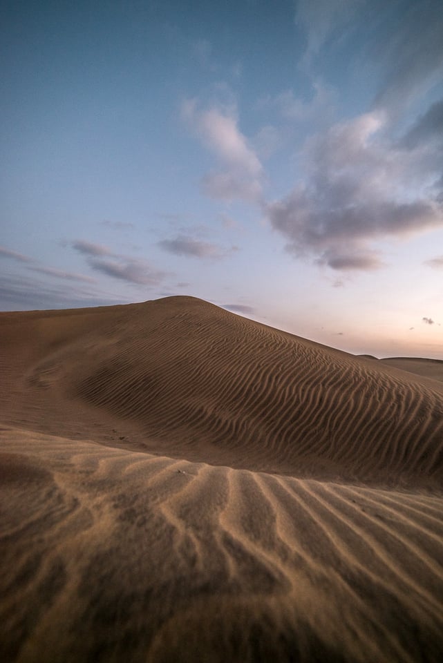
The Maspalomas Dunes are sand dunes located in the very south tip of the island of Gran Canaria. The rolling dunes stretch on an area of 404-hectare (1,000-acre) between the see and the Maspalomas city and between two major beaches on east and west. The area is hence easy to access from any side. I struggled a little bit to find a place to park. By chance I hit on this parking place which is situated just at the verge of the dunes.


The location is ideal both for the sunrise (way much less people around) or for the sunset (sun sets behind the Maspalomas Lighthouse that is visible from the western part of the dunes). I recommend taking tripod or stabilized wide angle lens and staying also during blue hour. The unevenly lit skies still gives plenty of softly diffused side-light that is great for highlighting structures in the sand. The yellow color of the sand then nicely contrasts with the richly dark blues of the dark skies (this holds only for about 20-30 minutes after sunset or before sunrise).

I also recommend wearing flip-flops (or walking bare foot) instead of using normal shoes. Beware that the closer you get to the main avenues in Maspalomas the more filthy the send gets (rubbish rather than anything really dangerous).Take drinking water with you, climbing the dunes is more strenuous than it might look.

Tamadaba Mountains and GC-200 Road
Gran Canaria’s most spectacular road (GC 200) from Agaete to Las Caserones is full of hairpin bends and sheer cliff-edge drops. It takes you to the protected area of Tamadaba mountains from where you can admire the best views out over the Atlantic Ocean towards Tenerife and Teide volcano.


If you go down this road, do not enter the newly build and faster GC-2 road with tunnel (the section begins a few kilometers after El Risco village) – I did this mistake and missed some spectacular views of the Dragon Tail cliffs from the Mirador del Balcon viewpoint. For best photos, plan your drive in the late afternoon.

Pico de las Nieves
The highest mountain of the island of Gran Canaria, and third highest point of all Canary Islands, is not very spectacular on its own as the peak is not very prominent. It is rather a flat plateau, most of which is occupied by a military base, including a large ball-shaped radar. Civilian visitors are allowed to enter a platform somewhat below the base, from which half of the island as well as Tenerife’s Pico del Teide is visible, in case of good weather. Its height is 1,949 meters (6,394 ft) above sea level makes it an ideal stargazing location, unfortunately the military base casts a lot of light pollution into the surroundings – the foreground might get overexposed relative to the dark sky.
Other Places I Could not Photograph
Las Palmas de Gran Canaria is the capital and also the oldest city on the island (founded in 1478). You can photograph tiny streets, market places, churches, cathedrals and much more. In the west, the most famous beach Playa de las Canteras is also a good location (for sunset).
Table of Contents