Photo Spot Summary
Country: United States
Category: Landscape
State: California
GPS Latitude: 37.715298
GPS Longitude: -119.690109
Directions
The best way to visit is by car. If you are flying, Fresno is probably the easiest airport, but is still a significant drive from the park. Lodging is available in the park or the surrounding areas, or you can certainly camp as well. Yosemite is a big park, and you can visit many times. The areas I'm listing below are the typical highlights of the valley, but as such are quite well-traveled.
Photo Spot Details
Yosemite is one of the original national parks, and is really the birthplace of modern landscape photography. It’s hard to take a bad landscape picture in the valley, but because it’s so popular it’s also hard to take a truly standout shot. Any season will yield good photos, but the winters are pretty harsh which can be good or bad depending on your perspective.
You will want all your lenses, and a good tripod. I found an ultra wide zoom to be the most useful, but there’s an occasion for most any lens in the park.
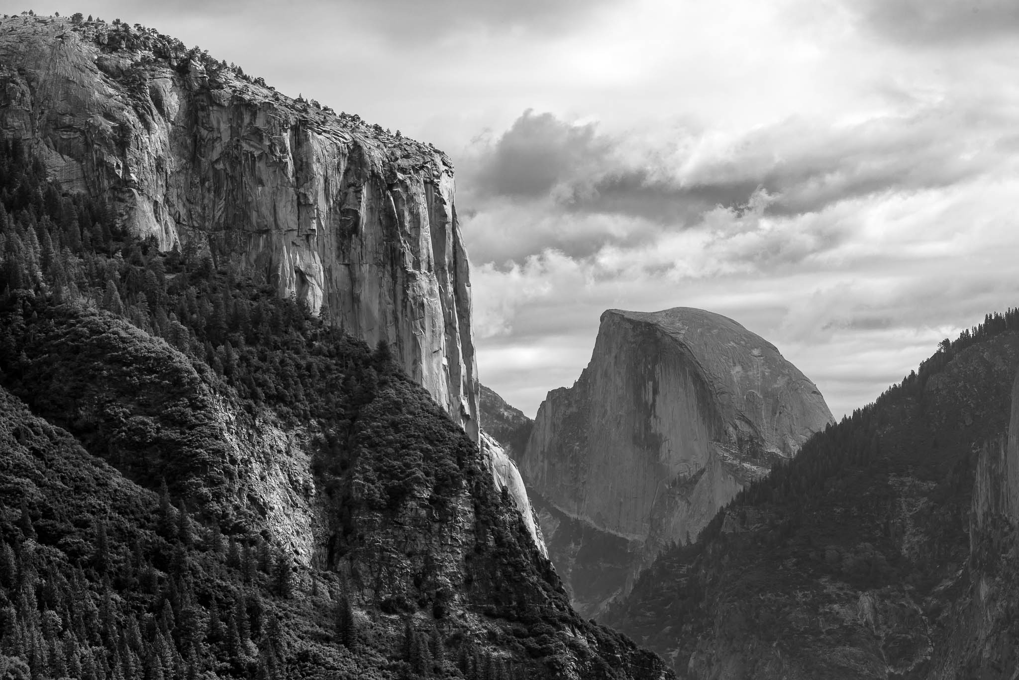
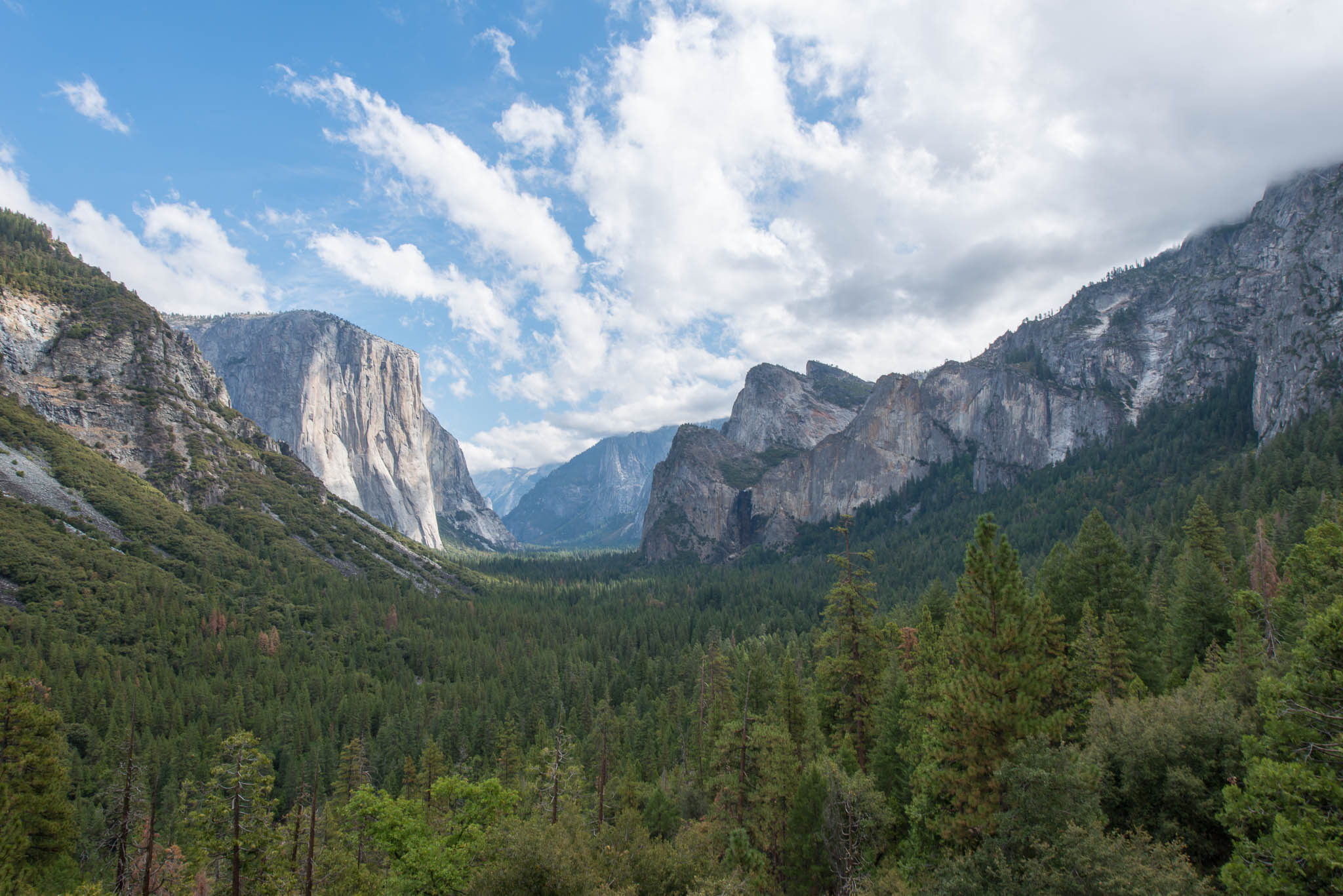
The first thing you will see as you drive into the valley is the Tunnel view, at 37.715577, -119.681203. From here you can see the whole valley, and in the right conditions all of the waterfalls will be flowing, you’ll have perfect landscape clouds, and gorgeous contour to the granite with just a bit of atmospheric haze for depth. It’s no wonder Ansel Adams loved this view.
As you drive further into the valley, you can stop at Bridal Veil Falls for a quick, easy hike. With current drought conditions, it’s pretty low flow to dry for most of the year though. 37.715577, -119.681203
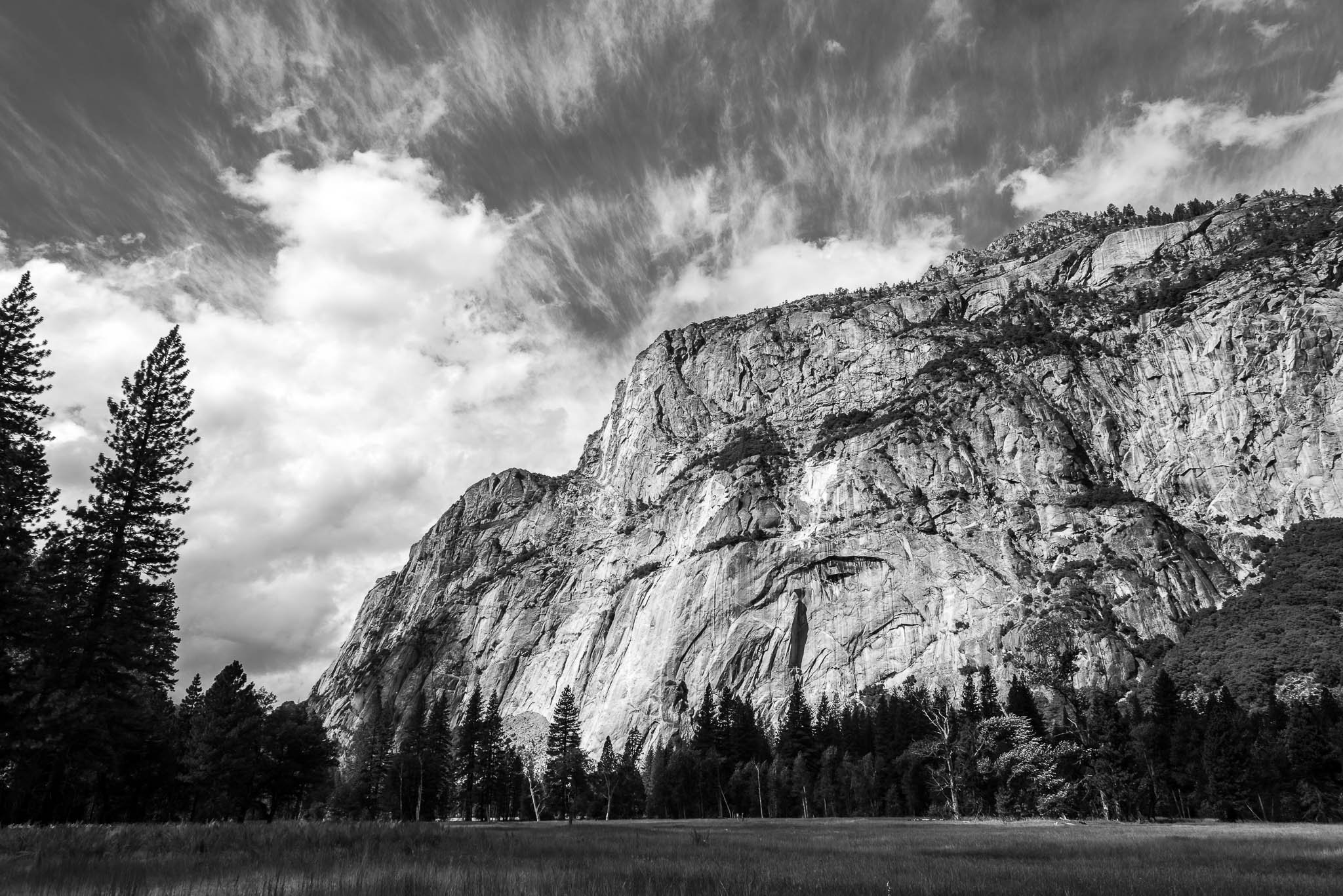
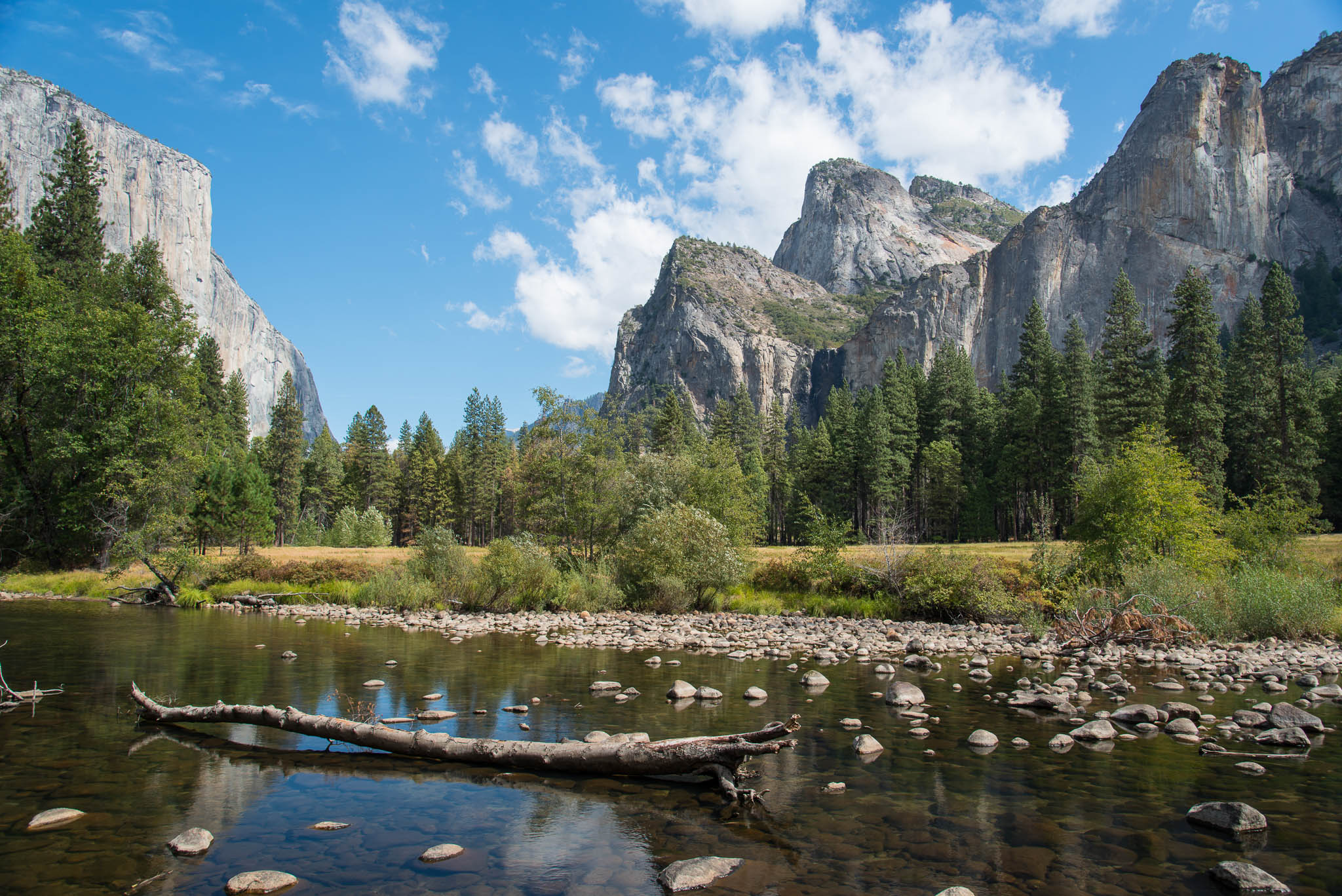
Continuing on, the road will turn into a one-way loop for the rest of the valley. You’ll pass through a meadow with the Cathedral Rocks on your right and El Capitain on the left, with the Merced River splitting the two. There’s lots of great photos to be had here, and if you’re adventurous you can hike several miles up and out of the valley to Taft Point. Alternatively, instead of going into the Valley you could drive to Glacier Point and get the same views with a 1 mile flat hike.
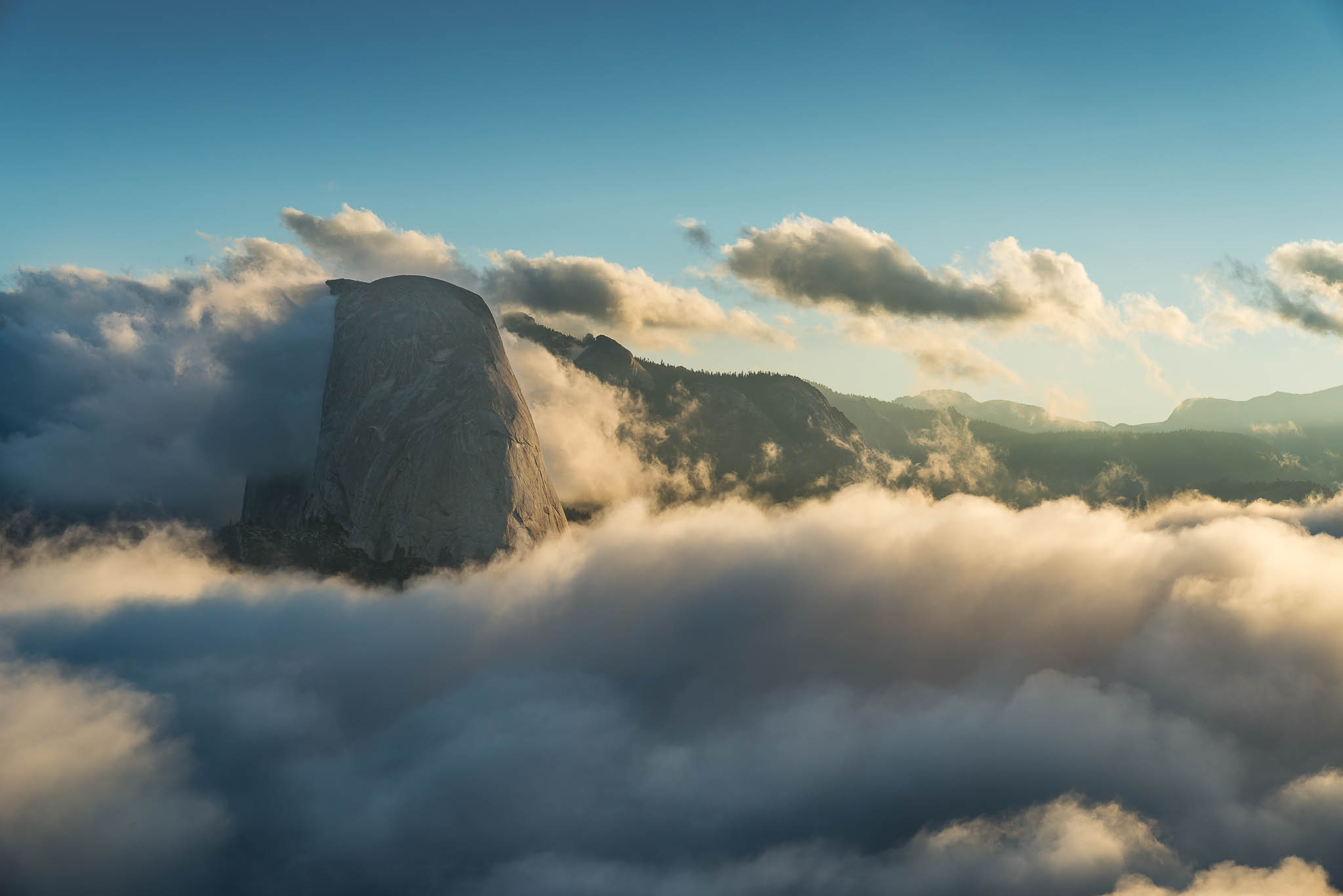
You’ll then reach the main village area, with an easy trail leading to Lower Yosemite Falls (37.715577, -119.681203) and a longer trail to Upper Yosemite Falls. Or if you head further east you can hike to Half Dome (37.715577, -119.681203, tough hike with permit required) or Mirror Lake (37.715577, -119.681203). Again, with current drought conditions most of the water features are not as impressive as they have been in years past.
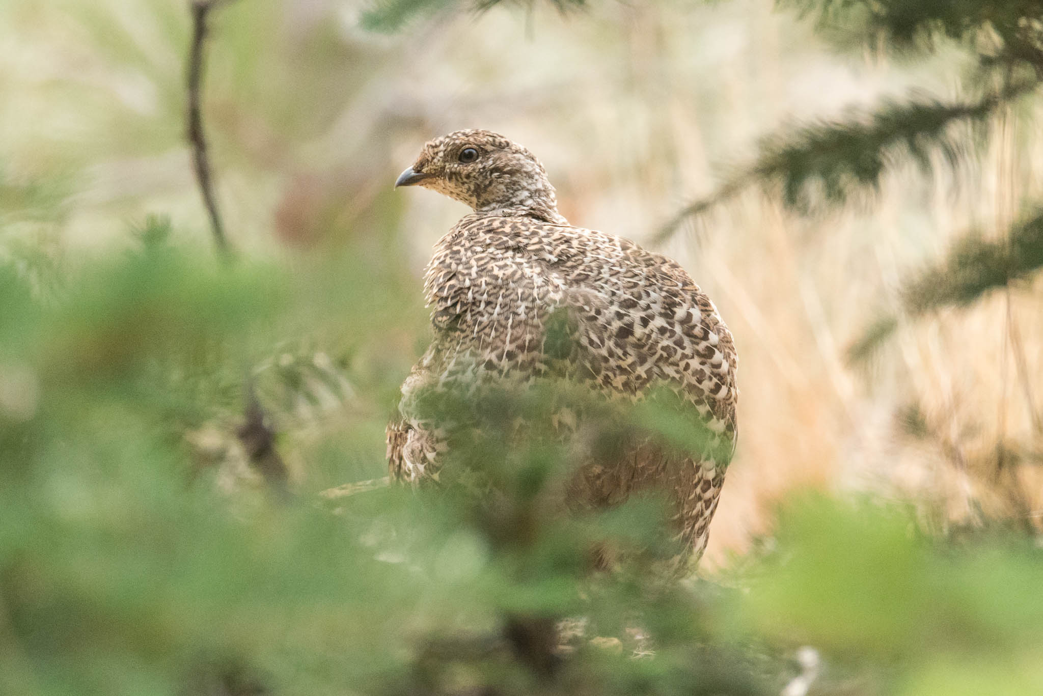
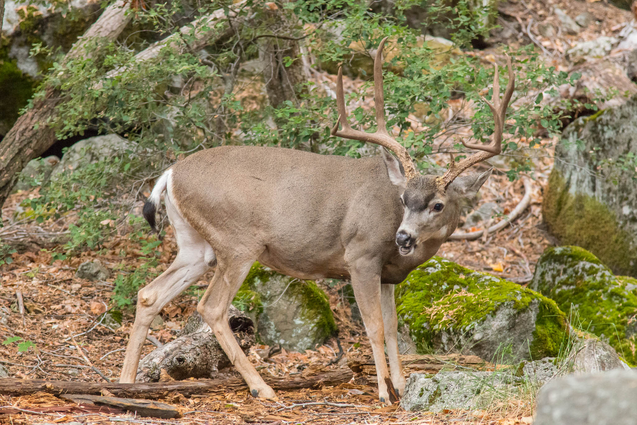
Enjoy your visit, and also keep your eyes open for wildlife. Lots of birds and mammals, most of which relatively tolerant of having photos taken. Finally, don’t forget to take some star pictures if you have a favorable night!
I just want to say that I’ve only read some articles from your website. Unfortunately due to time, i haven’t been able to read more. I want to thank you and who ever else puts in all the work to give us this content. I enjoy them so much. I don’t know if it is your goal or maybe you’ve already done it.. but you should write a book. Yep… I’d definitely read that