Photo Spot Summary
Country: United States
Category: Landscape
State: California
City: Fremont
GPS Latitude: 37.564140
GPS Longitude: -122.004181
Directions
Mission Peak is part of the East Bay Parks, and the EBParks website has information on both access points ( Stanford Ave or Ohlone College) http://www.ebparks.org/parks/mission
Photo Spot Details
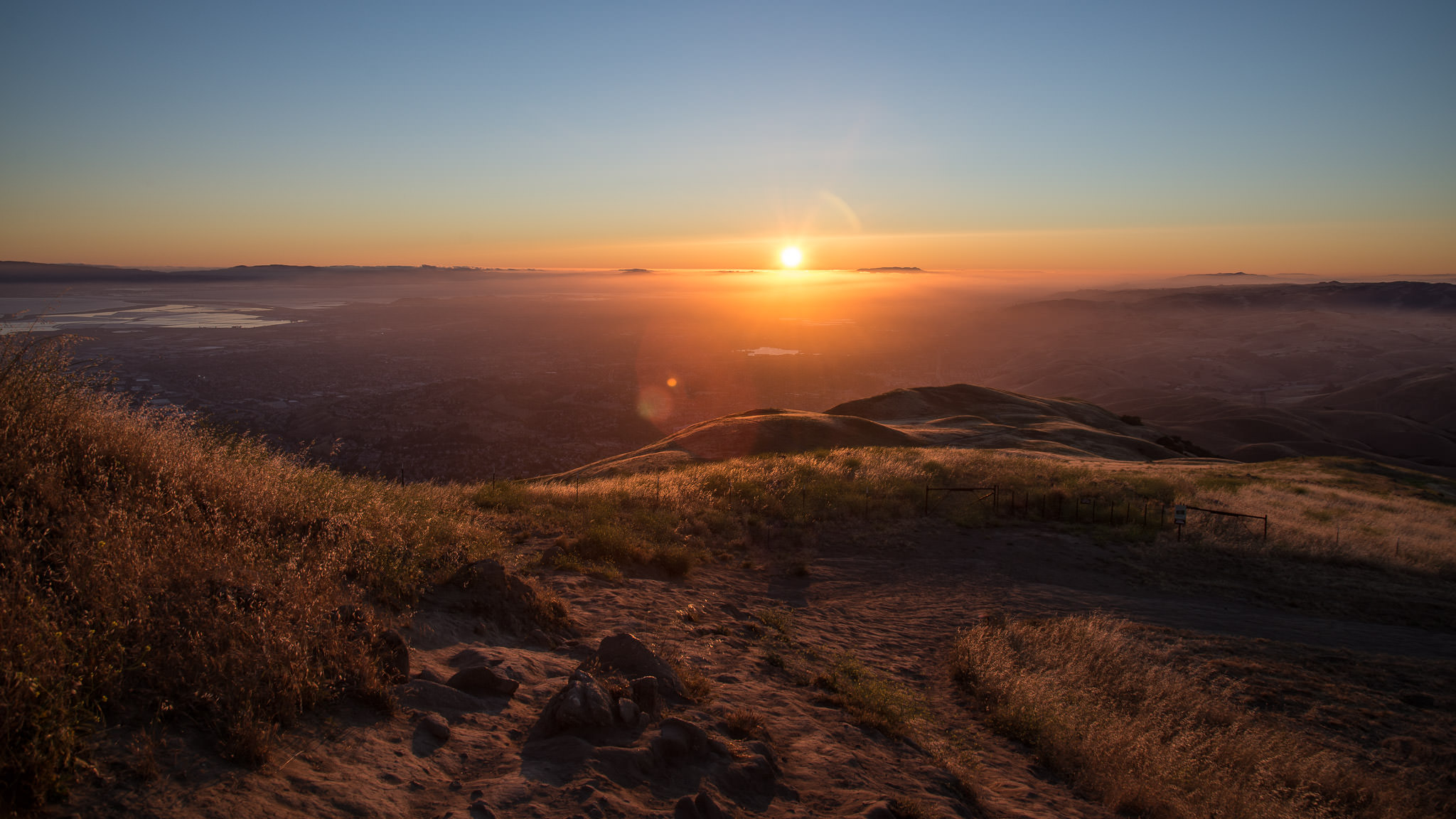
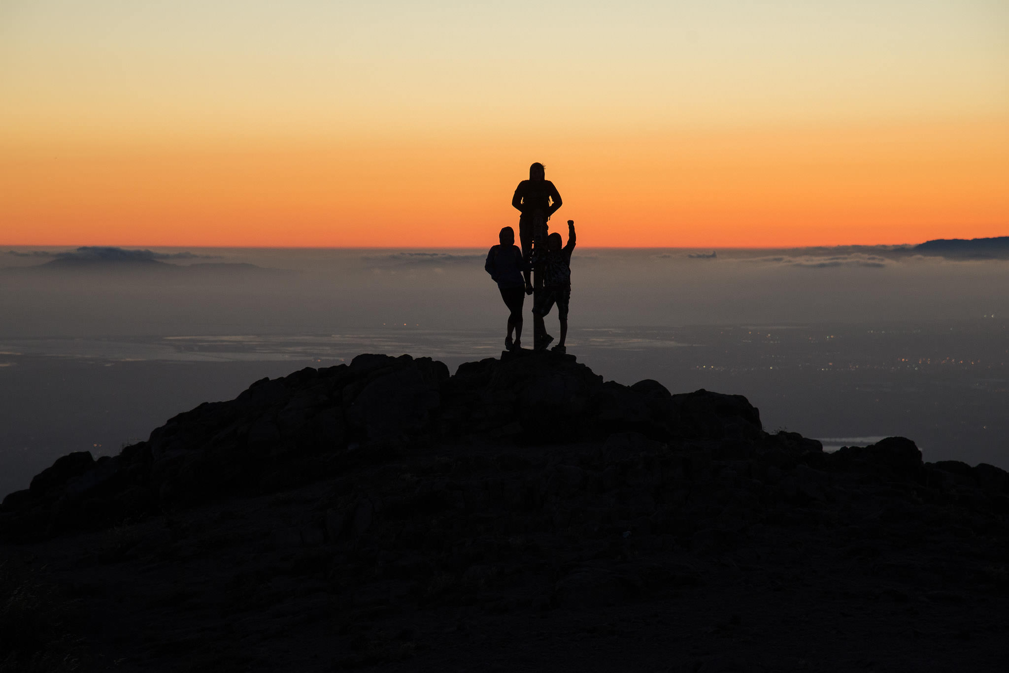
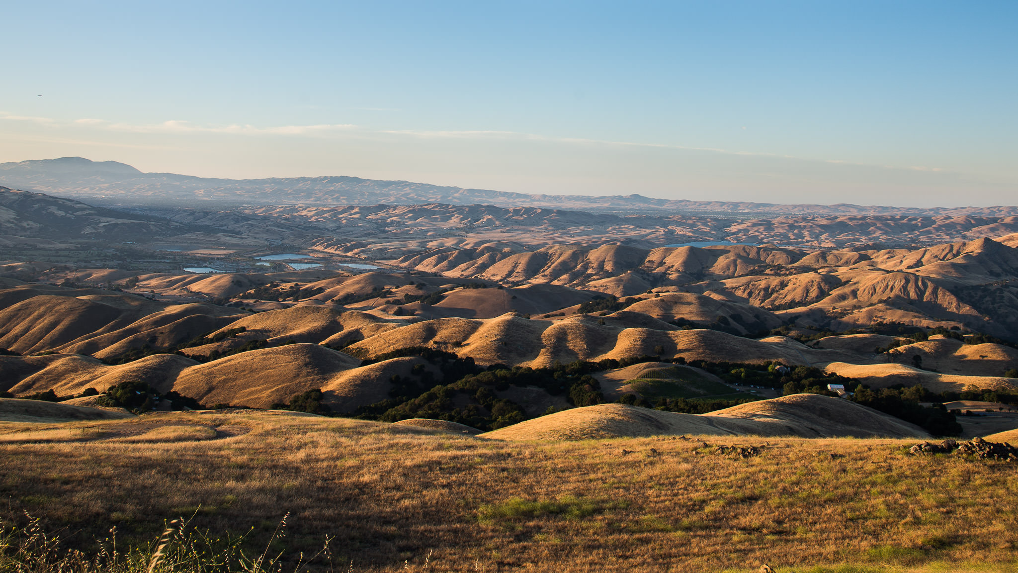
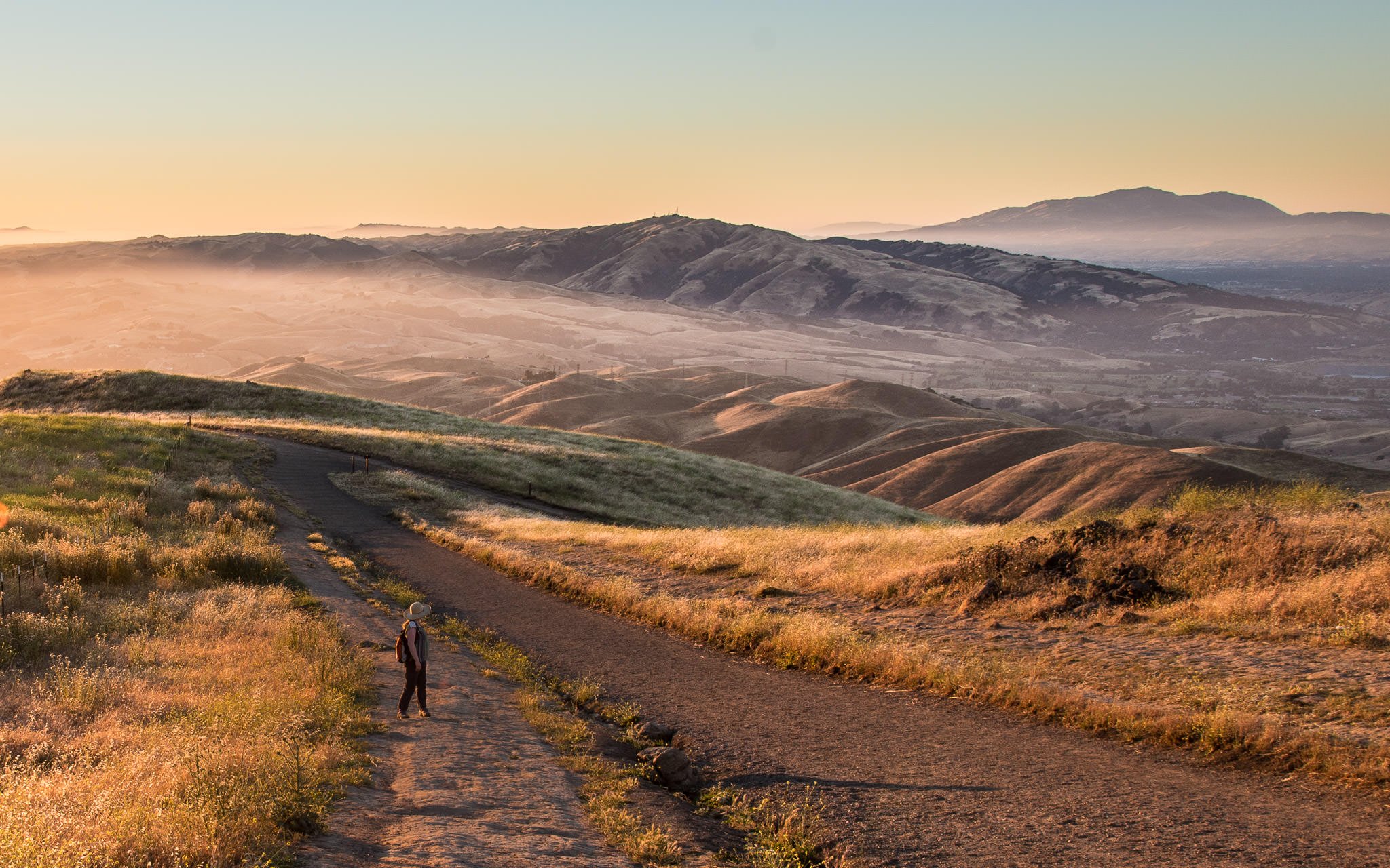
You’re going to want to be in moderate health to climb Mission Peak, as you will climb from either 300 ft. trailhead up to the 2500 ft. summit in about 3 miles; I’d set aside ~ 1.5-2 hours to make the top. I’m not an early morning person, so I typically go for sunsets. As the sun sets, you’ll get beautiful texture from the Calaveras and Pleasanton range. Further north you’ll see the mighty Mt. Diablo and to the south you’ll see Mt. Hamilton with the Lick Observatory dotting it’s peak.
January->April it can be quite green on the peak, speckled with California Poppies and Lupin flowering around. The rest of the year, the grasses will have turned yellow which can become very golden with the right light.