Photo Spot Summary
Country: United States
Category: Landscape
State: Washington DC
City: Great Falls
GPS Latitude: 38.998165
GPS Longitude: -77.288315
Directions
The only way to get to the park is via personal transport, cab or Uber. The nearest metro station is the Dunn Loring and West Falls Church stations, which are 7 miles away. A cab ride should be approximately 15$ from there.
Photo Spot Details
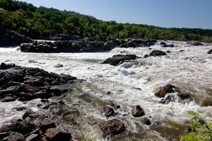
The great falls is on the north side of Washinton DC. It is a part of the Potomac river, which goes over the Mather gorge. The narrow gorge causes the river to speed up and crash through creating scary but extraordinary floods of water. This creates some spectacular and exciting views. The trails are designed to give the park visitors a direct view over the falls. A good sturdy tripod is needed as the place can get quite windy. The park closes by sunset, so if you visit early during the day, get some good dark gradient filters to get long exposure shots of the waterfalls.


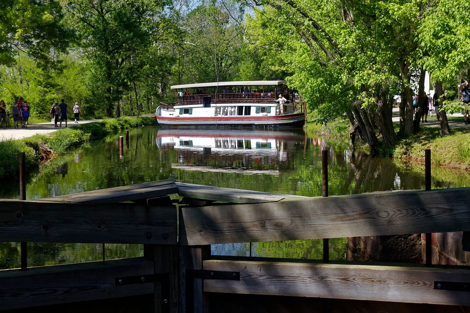
The river photo appears to be from a over look in the middle of the river (tele shot), access is from the North side (East on the map due to river bend) of the river. The Pic of the Barge is in the C & O Canal also on the “North side”. State of Maryland. The maps for both Great Falls descriptions are the same and only shows the Virginia side of the river (South side). Washington D C is on the North side of the river several miles downstream to the East.