Photo Spot Summary
Country: Australia
Category: Landscape
City: Tweed Valley
GPS Latitude: -28.457905
GPS Longitude: 153.301193
Directions
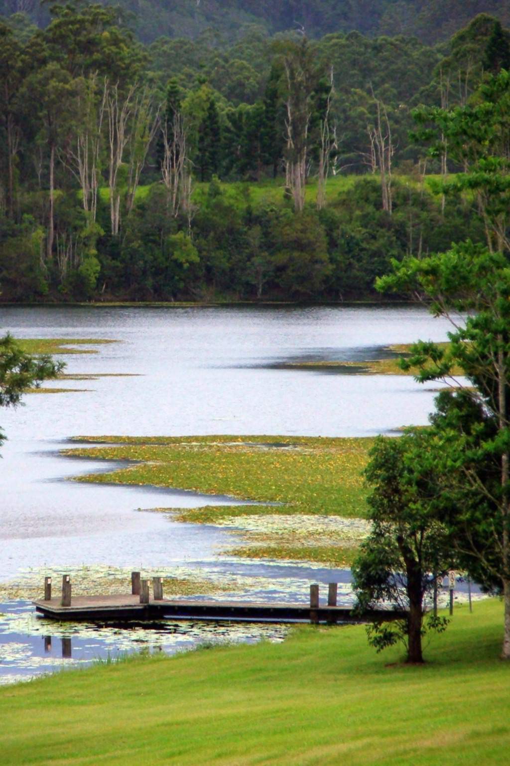
Clarrie Hall Dam is located on Doon Doon Creek - a tributary of the South Arm of the Tweed River, some 15 kilometres south-west of Murwillumbah. Take Kyogle Rd/Uki Road out of Murwillumbah, follow to Doon Doon Rd then take Commissioners Creek Rd to Nunga Rd in Doon Doon.
Photo Spot Details
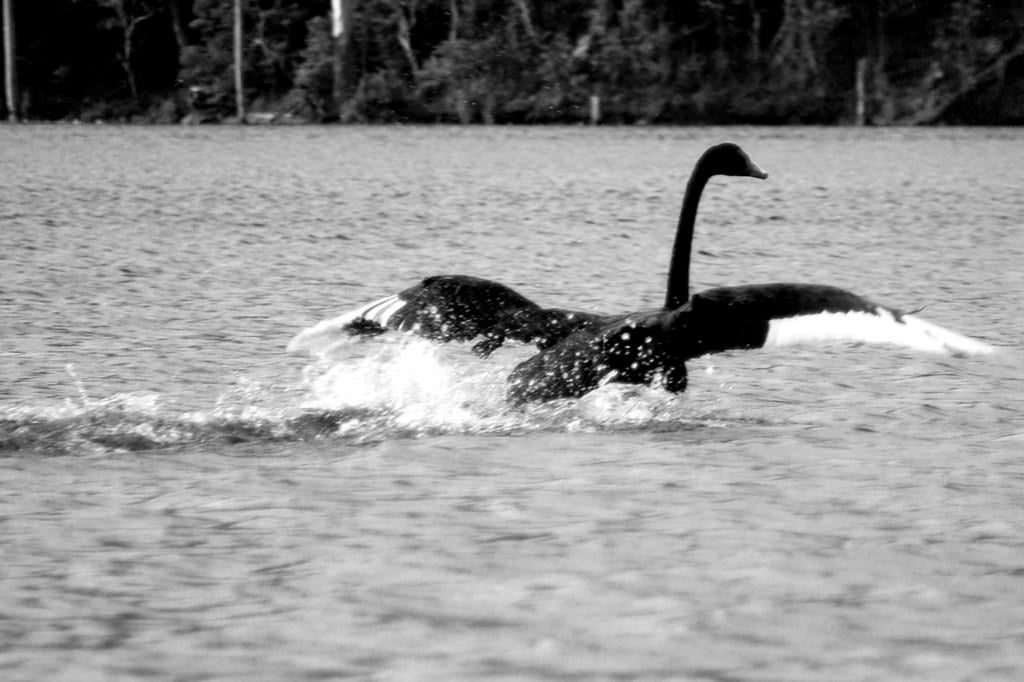
Aside from being the source of water for the Tweed Shire this is a lovely, picturesque recreational area with lovely picnic areas, surrounded by untouched wilderness with views to Wollumbin – Mount Warning. There is abundant flora and fauna such as water lilies and swans.

0 Comments
Newest