Directions
The Annaurna Circuit is a very scenic trekking route surrounding the Annapurna mountain range. The traditional trekking route starts in Besisahar (8 hr bus trip from Kathmandu) and finishes in Birethanti, after aproximately 18 hiking days.
Photo Spot Details
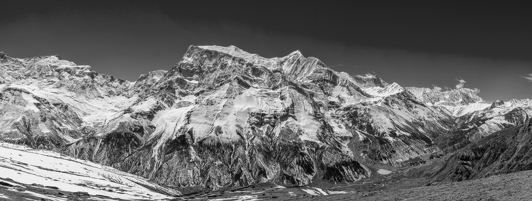
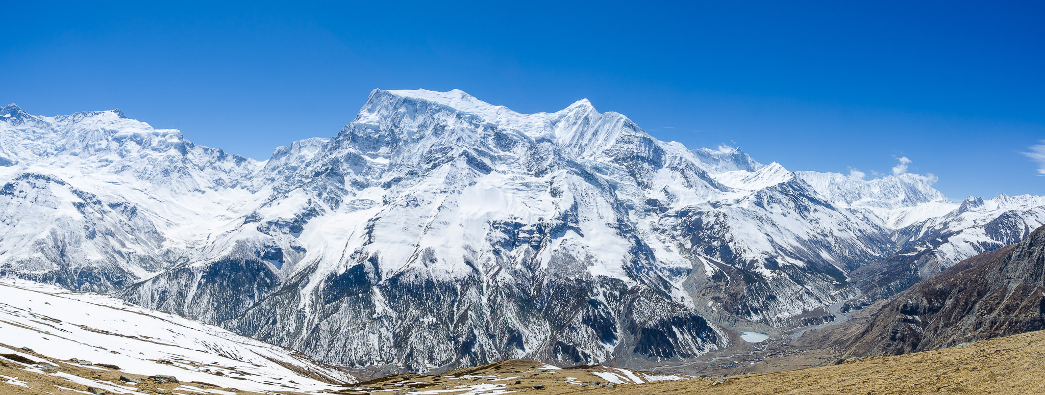
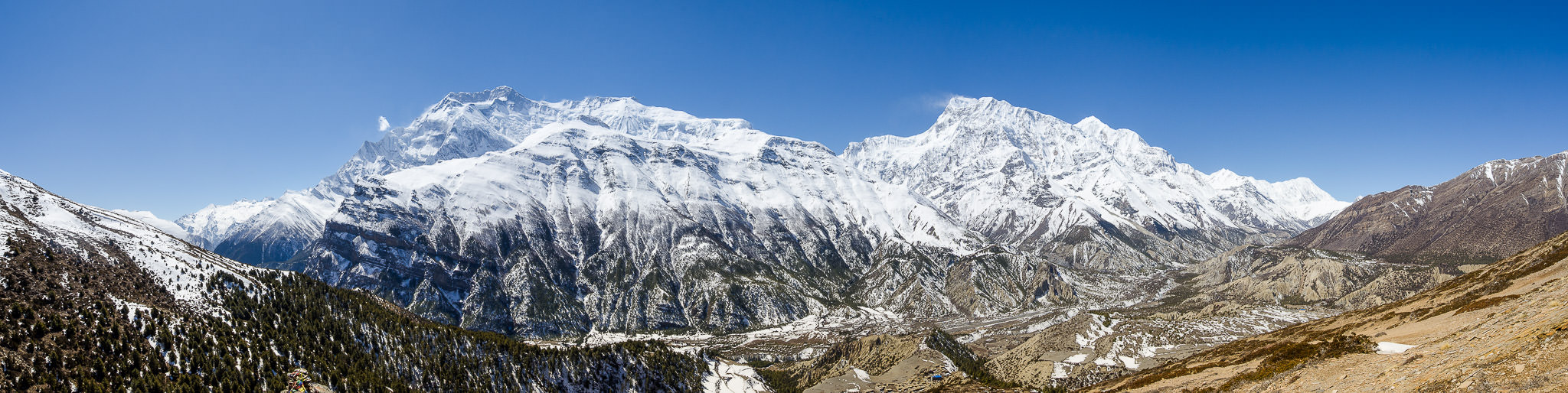
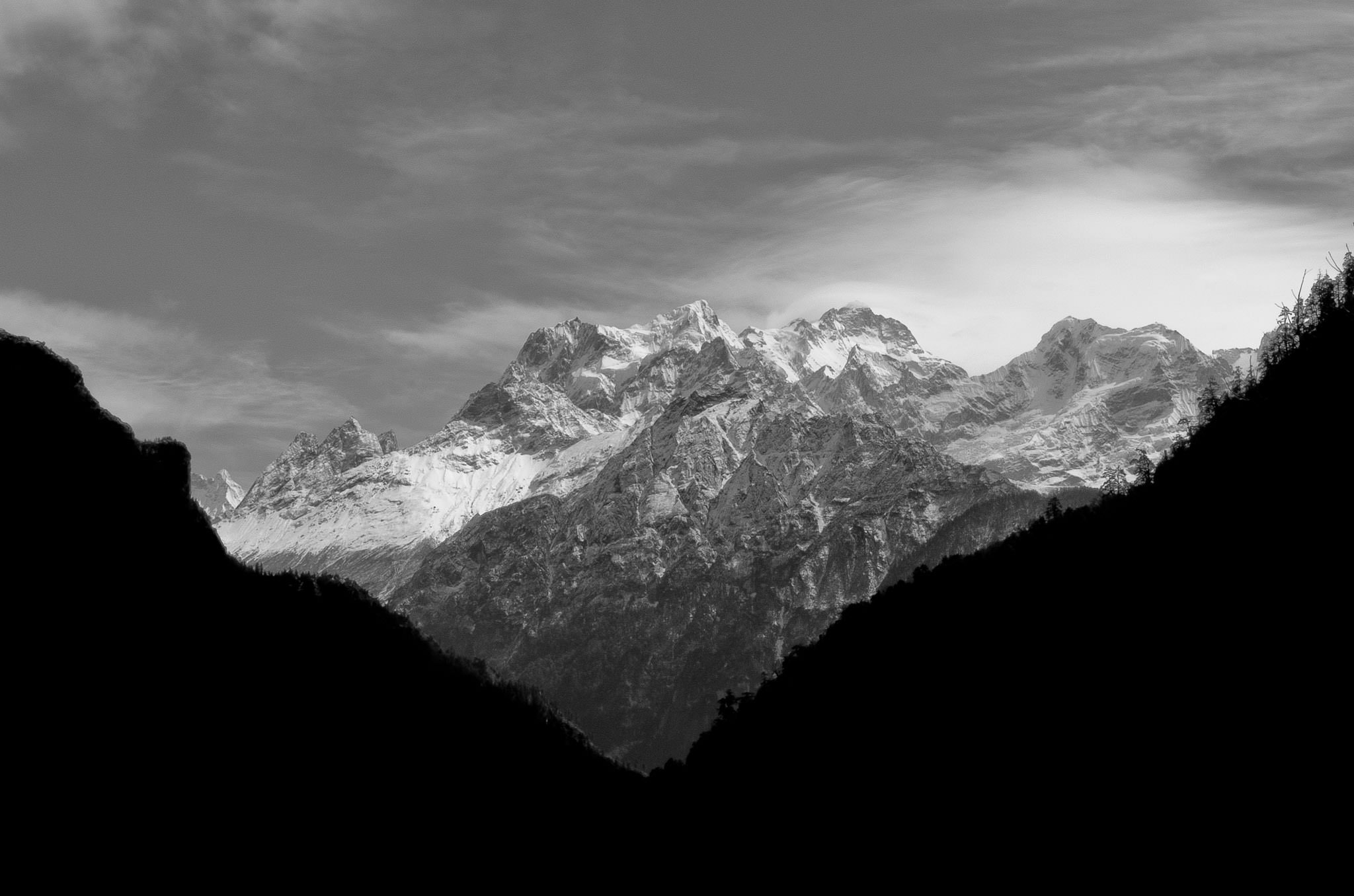
The Annapurna Circuit trek rises to an altitude of 5,416m on the Thorung La pass, touching the edge of the Tibetan plateau. This trek crosses two different river valleys and encircles the Annapurna massif, crossing Thorung La (5416m), the highest pass on this trek. The mountain scenery, seen at close quarters includes the Annapurna Massif (Annapurna I-IV), Dhaulagiri, Machhapuchhre, Manaslu, Gangapurna [7455m] and Tilicho Peak (7134m). The best season for trekking is during May-April, but the trail may be crouded. September can be a good season, depending on the snowfall. Make sure you bring lightweight equipments, tripod and neutral density filters.