On my fourth trip within the Himalayan Region of India, I came to know about a beautiful place tucked deep inside the mountain range: Zanskar Valley. I decided to embark on an eight-day journey there for landscape photography. This time, there was no detailed itinerary preparation or planning involved (which I love to do alone), as I opted for photography trip with thescape rather than a solo one.
Zanskar is an antidote for photographers who are tired of popular tourist destinations. It lies at an altitude of 4000 meters / 13,000 feet, cloistered within dramatic mountains, with deep gorges and glaciers of the Great Himalayan range. The place remains under snow for more than half of the year. During winter, the only way to get between Zanskar and the outside world is by walking over the frozen Zanskar river, known as the Chadar Hike, in -40 degree weather.
Zanskar has plenty of copper deposits and therefore is called the “Valley of Copper” (and Zang means copper in the Tibetan language). It has a mix of Tibetan and Buddhist culture. Though the place is getting some popularity among serious travelers, it still is largely untouched, due to rough terrain, difficult road conditions, long drives, and desolation. The drive there through deep ravines is scary sometimes. But once you manage to galumph past the treacherous roads, you will be gifted with beautiful scenery beyond imagination. You need to see and experience Zanskar to believe that its ethereal allure is real.
The valley is only accessible by road during summer. The path to reach it goes from Kargil toward Padum via the towns of Sankoo and Rangdum via Penzi La Pass. This takes about 3-4 days of driving, covering close to 400 kilometers / 250 miles of rough and sometimes nonexistent roads.
There is always a bit of risk, a bit of adventure, and a lot of luck involved in any Himalayan expedition. But this one turned out to be a more than what I anticipated. We were welcomed by unexpected rains, landslides, and broken bridges, and we were unable to visit few places as planned.
The famous saying of the locals held true: Sahib, Mumabi ki fashion, Pahaad ki mausam, aur biwi ka mood pe koi barosa nahin. (“You can never rely on Mumbai’s sense of fashion, the weather on the mountain, or the mood of your spouse.”)
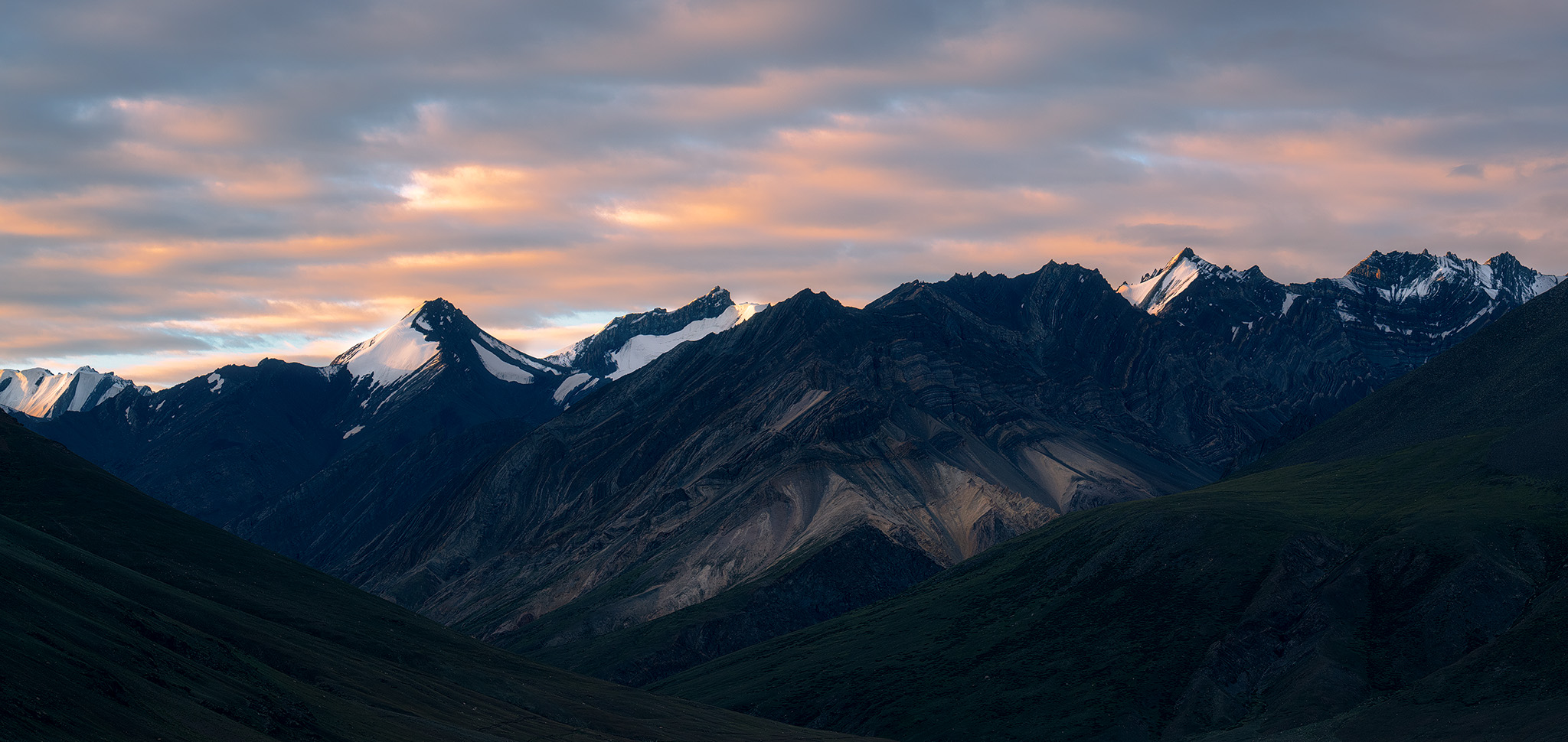
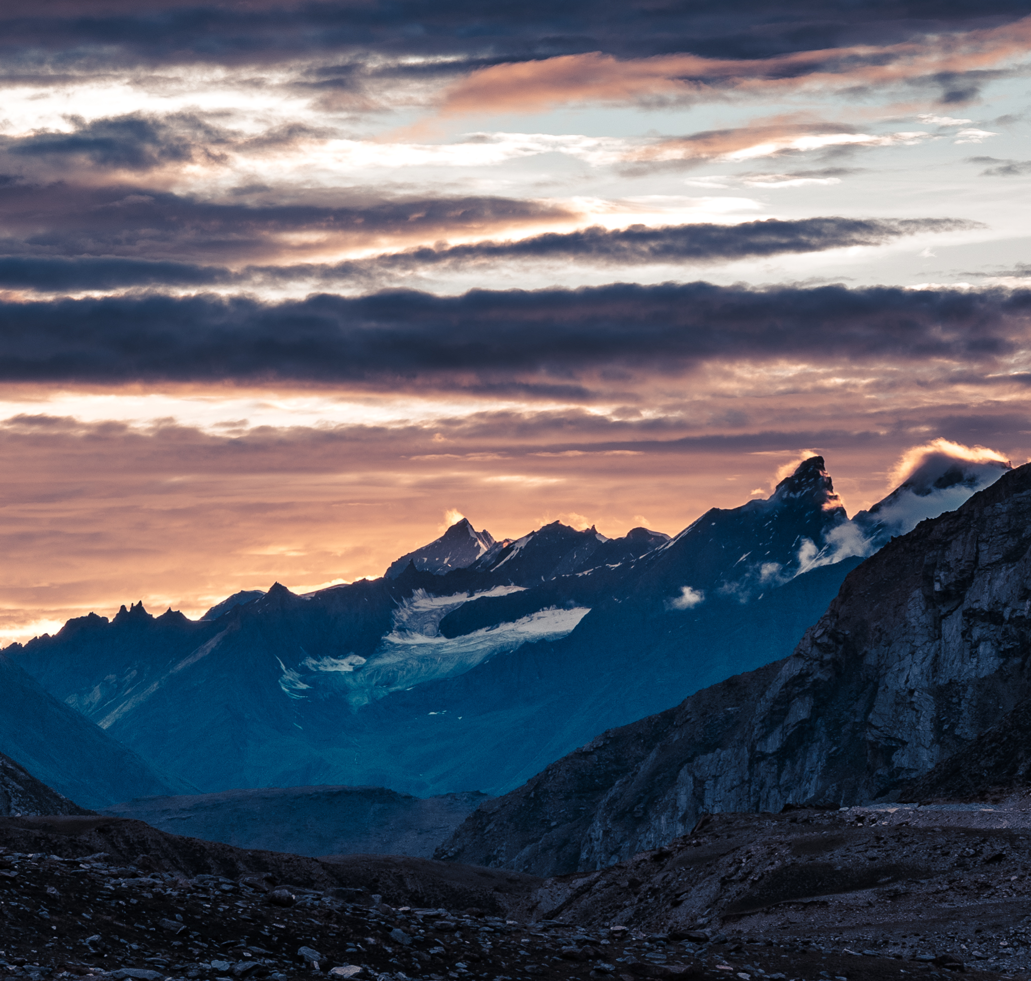
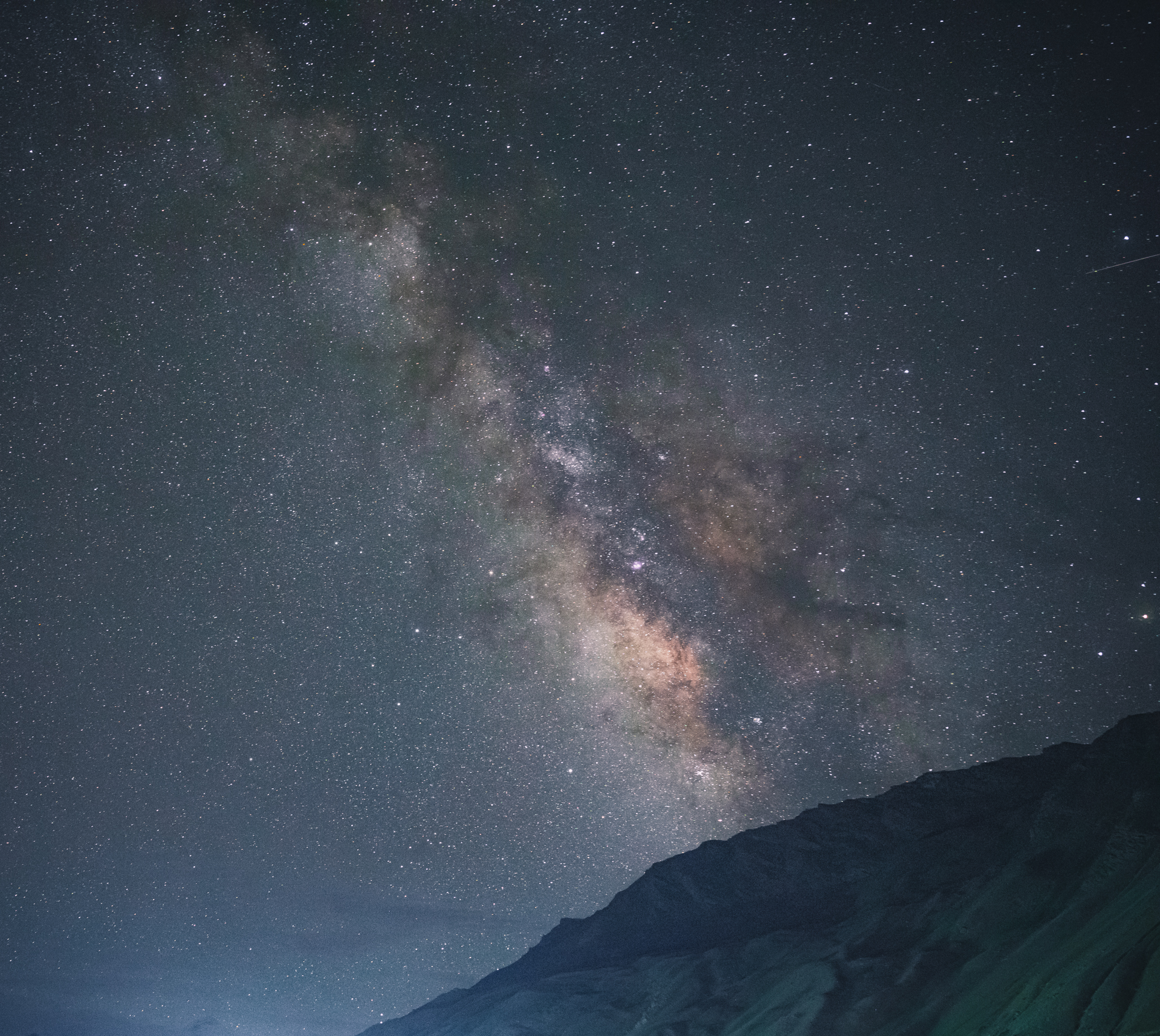
On this eight-day trip, I only saw two colorful sunsets and no good sunrises. It shows the importance of mentally preparing yourself to seek alternate ways to capture a scene. Luckily, that fits my recently favorite theme of dark and moody photography. Rain and overcast conditions also present plenty of opportunities to create drama in your photographs, and we had no shortage of rain!
To me, landscape photography is my personal interpretation of nature. Expeditions like this will make you believe in nature’s miracles, and you’ll be intrigued to find that everything has a backstory of its own. I always find there are new places to explore, especially in India. Life is short, folks, so enjoy it as long as time permits. And now, let me show you the photos from this expedition.
Day 1 – Suru Valley Base Camp – 3000 meters
For my camera gear, I used the Nikon Z7 II, Nikon Z 24-70 f/2.8, and Nikon Z 70-200 f/2.8 during this trip.
Day 2 – Rangdum – 3657 meters
En route we captured the beautiful Nun Kun peak and rainbow patterns before reaching the base camp.


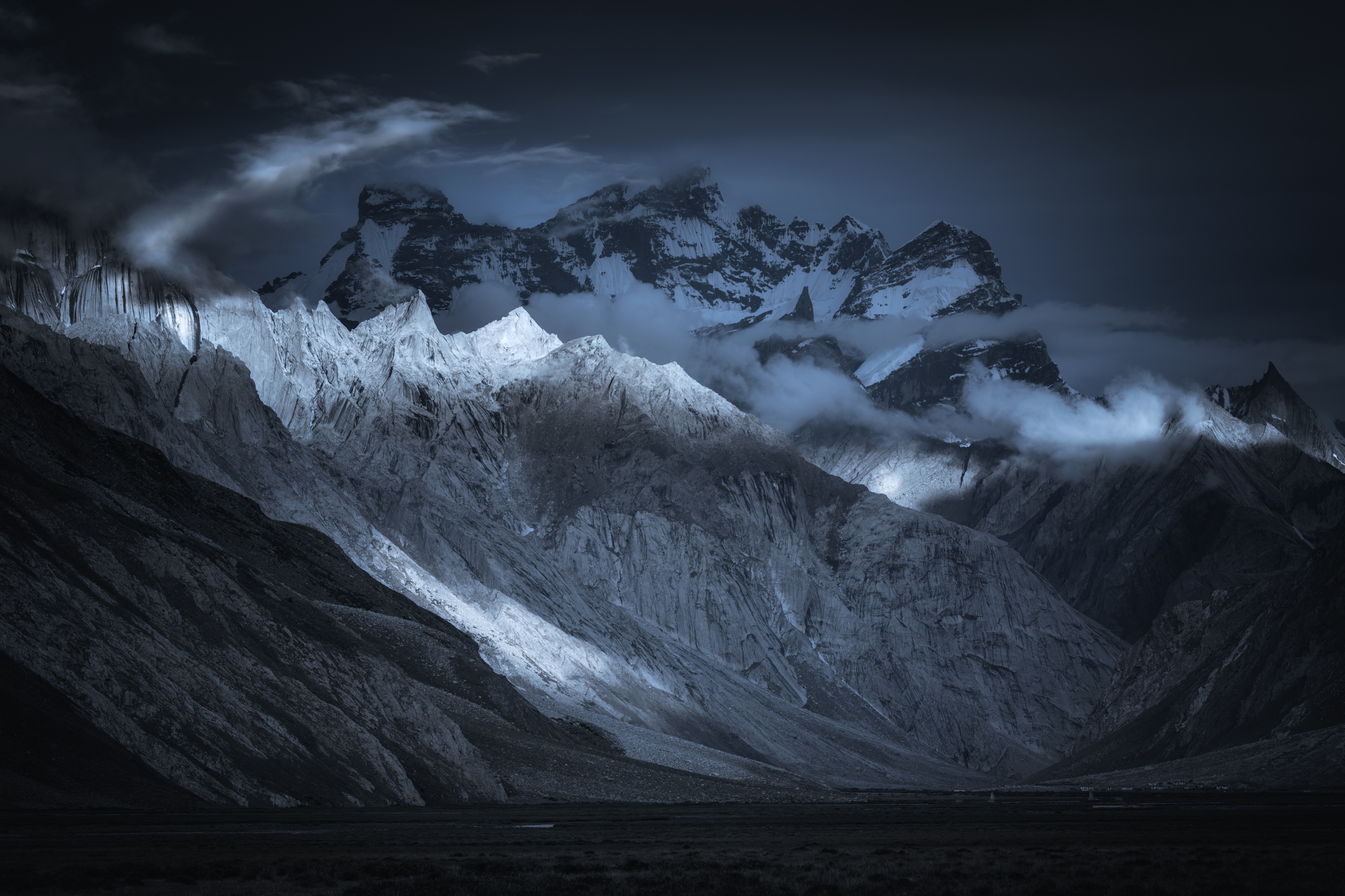
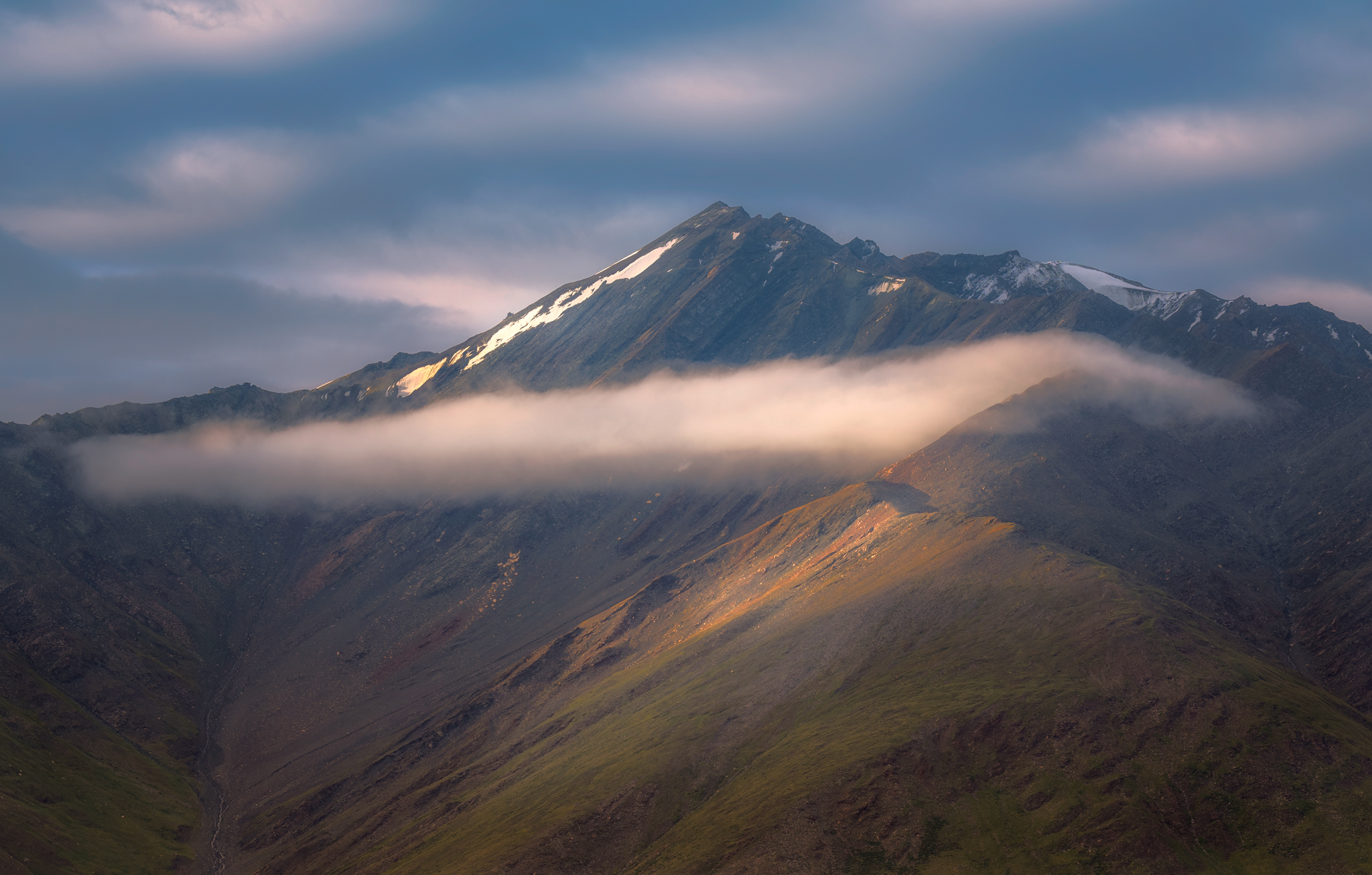
Day 3- Twin Lakes of Stat Tso and Lang Tso – 4324 meters
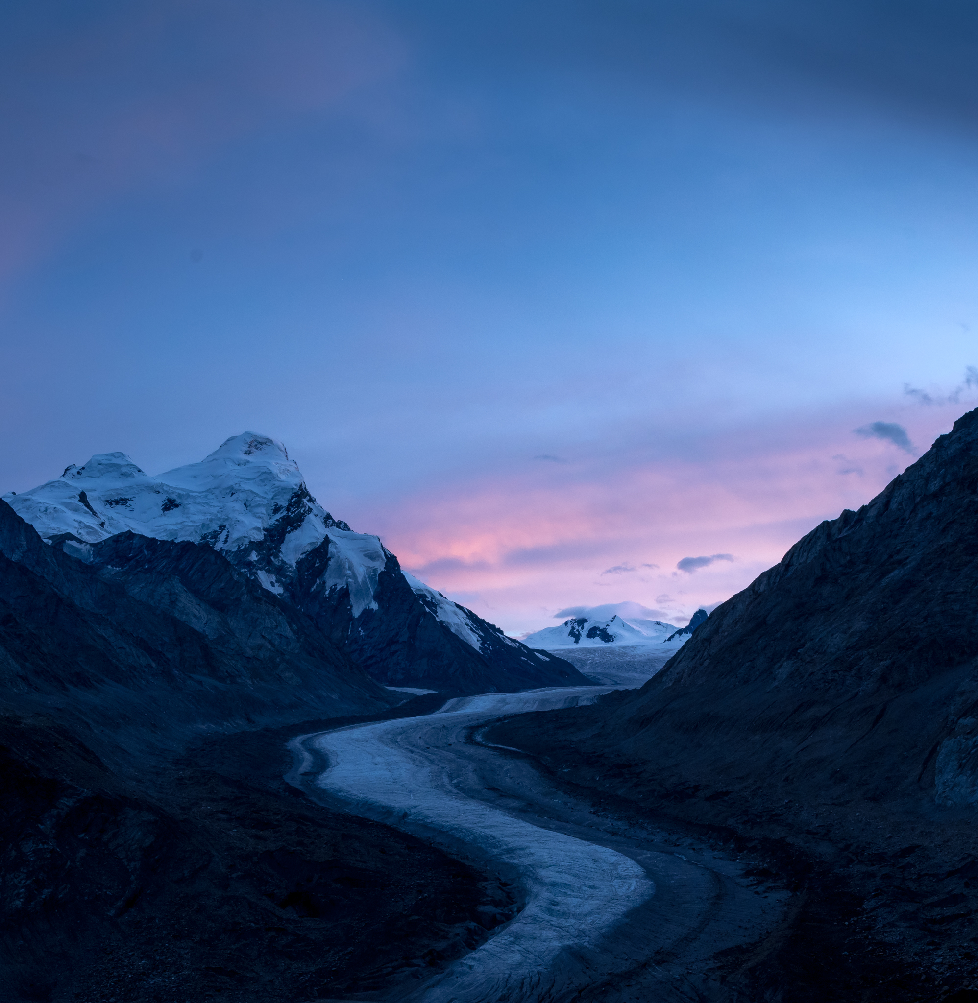
From here, we witnessed an iconic view of Drang-Drung glacier. Luckily for us, the weather cleared after a rainstorm, opening up vibrant colors and a glorious sunset. The Drang-Drung Glacier is likely to be the largest glacier in Ladakh, covering close to 25 km.


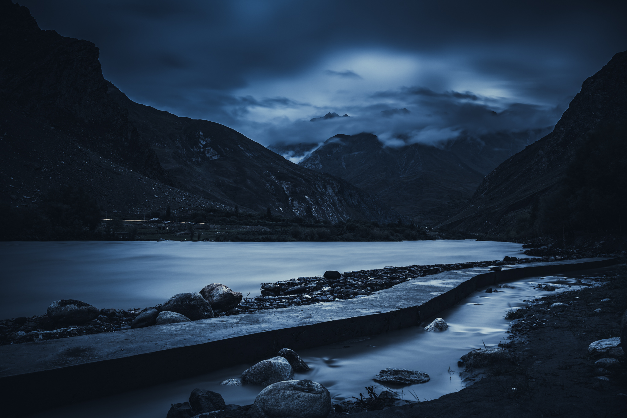
Day 4 – Sani Village
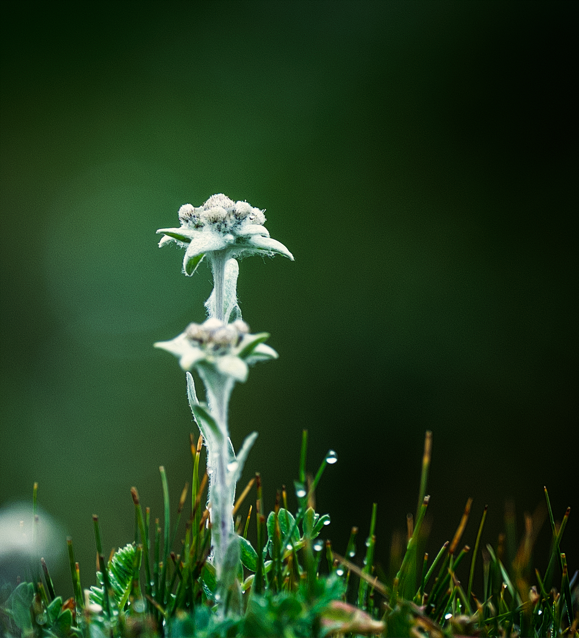
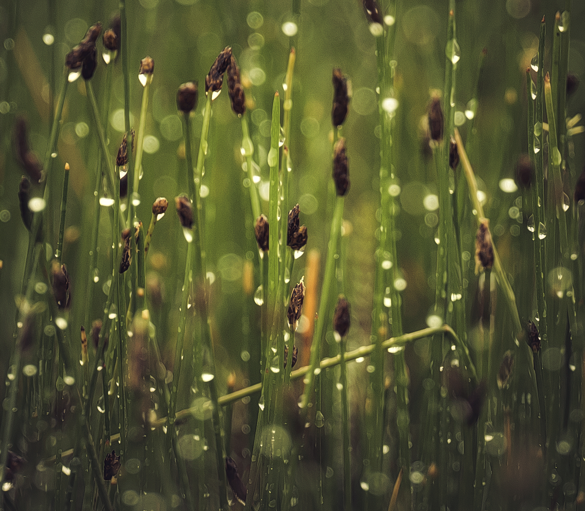
This area is usually known as the wetland. Frequent rains are very common here.
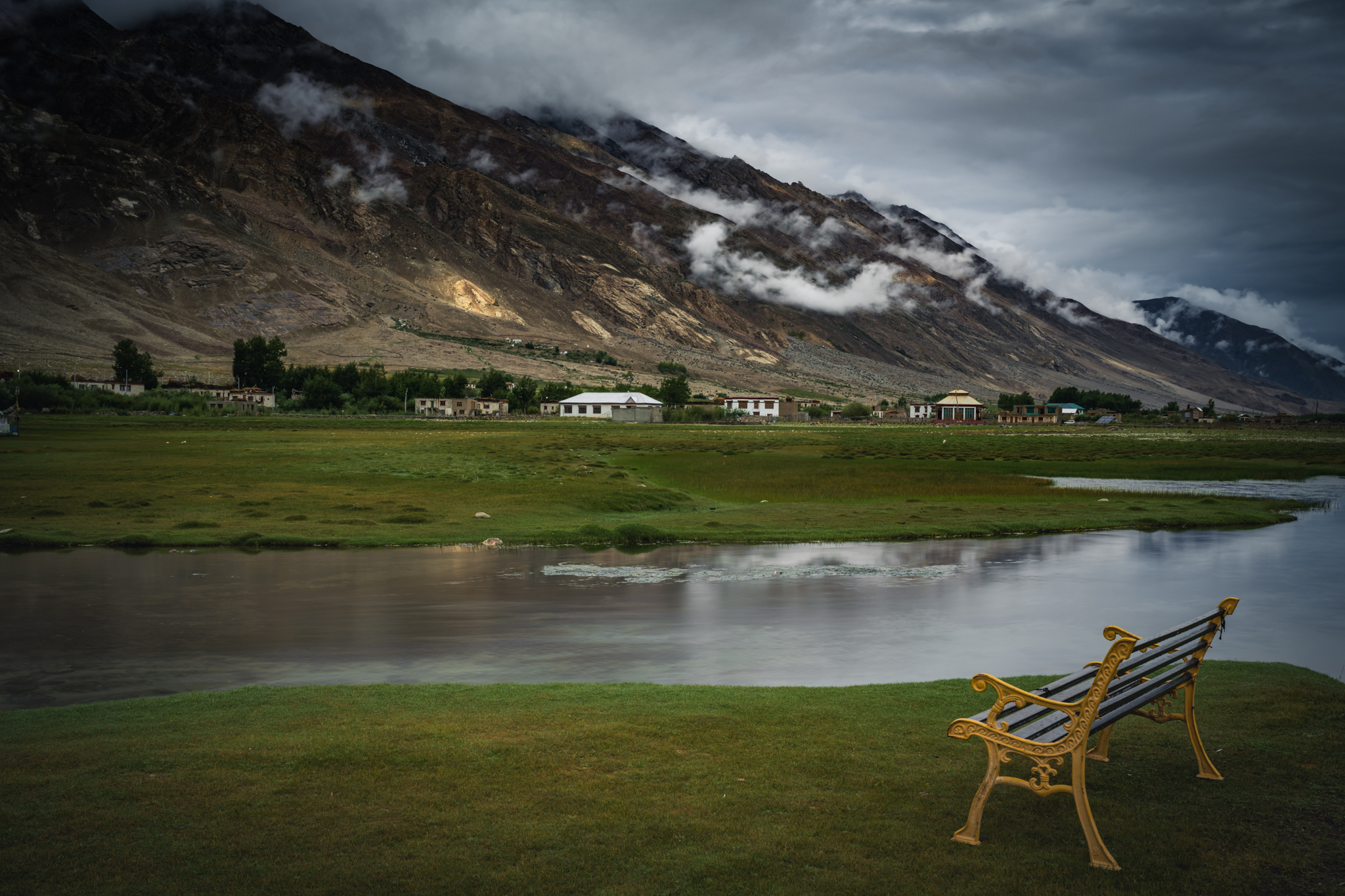
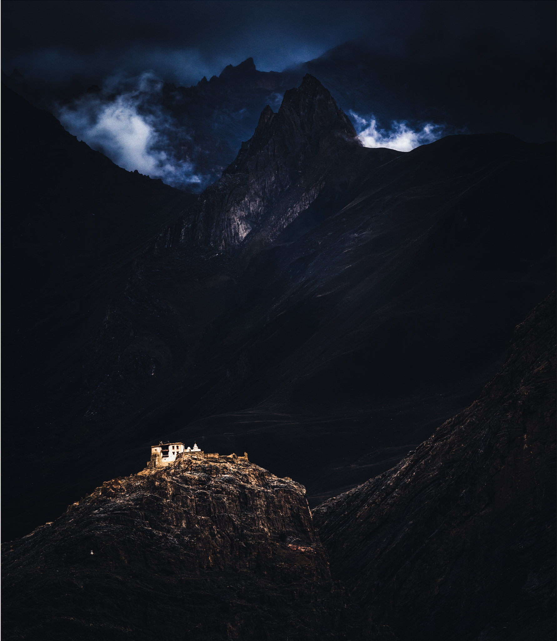
Day 5 – Zangla – 3930 meters

Wonderful! Thanks for sharing you insights and work.
Outstanding shots. Breathtaking views. Would request to see more such shots.
Breathtakingly beautiful… M happy to have seen Zanskar Valley and its moods through your lens.
A added a few photos from Zanskar 1988 (and elsewhere in India) to a collection you can find here: arell.myportfolio.com/kashmir
Technical info: Nikon FA, Fujichrome, scanned with Epson 700/VueScan
Those are amazing photos, thanks for sharing them, Jan!
Excellent feature presentation. Have been to Suru valley a year back upto parkachik. Beautiful valley sandwiched between the Great Himalayan range and Zanskar ranges . Exceptional but less travelled place for photography and thrilling adventure . The experience will leave one mesmerised . Will be pleased to get more inputs on the type of camera dn it’s settings for having professional class pictures in this stunning locale . A hidden beauty
I was in Zanskar about 6 years ago and absolutely loved it. Zanskar combined with Leh Ladakh is a fantastic landscape and cultural trip although I love how off the beaten path Zanskar is and you hardly ever saw another tourist in the same location. I was going to go back there 3 years ago but had to cancel at the last minute unfortunately. Denitely will go back there again.
that’s what I call a perfect trip — appreciated to view your “very” atmospheric images — but try DxO Photolab software — the shades & blacks in your images are too dark … — anyway: excellent work!
Stunning photos. Beautifully done.
Not so remotly visited as above, but in October I’m going to Nepal for my second trip to hit the Himalayas, namely the Gyoko lakes.
Did Mt. Everst basecamp and half of ABC-route in 2018. Beautiful sceneries, higly recommended.
Mr. T;
Sweden.
Isn’t that around 20 days of trekking. May be someday i will plan.
Depends on how fast you are 😉. In my case (and according to my trekking agent that I hired at my previous visit), it would take around 17 days (in slow speed, I’m going for a vacation, not for a competition or a marathon).
According to my book, it should take about 18 days from/to Kathmandu. Oh my god, what am I getting myself in to😵.
All the best and post some pics after the trekk.
Thank you Venkitesh, surley I need that. However, I can’t promise that I’ll post any pic’s here, my standard aren’t as high as you guys, I’m sorry to say 😔.
From central Zanskar plain (Padum?) to Darcha in northenmost Himachal Pradesh, I think we walked some 12 days. At the most 5100 meters. Those beers me and Mrs later got in Manali were most welcome.
Interesting! My wife and I went there in 1988. First we spent a couple of days at a huge religious ceremony in Padum, led by the Dalai lama, before we went trekking, twelve days, across the Zanskar range through the Shingo-La pass (some 5.100 meters)
Jan, Sweden
Wow, didn’t know it was open to civilians at that time.
It had been open for a few years only. In those days it was possible to go there via Srinagar and Kargil. I don’t know if you can do that anymore.
Oh, I forgot to say that I love your Zanskar photos. That picture of a white building against black background is fabolous!!